Sea Level Monitoring
TSU/MAB Coastal Hazards Project
UNESCO-IOC Expert Meeting in Vanuatu on Tsunami Sources, Hazards, Risk and Uncertainties Associated with the Subduction Zones of the Region
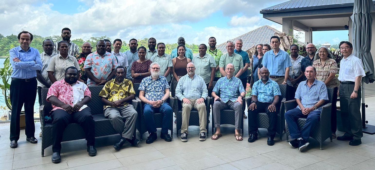
A hybrid UNESCO-IOC Expert Meeting on Tsunami Sources, Hazards, Risk and Uncertainties Associated with Vanuatu, San Cristobal and New Britain Subduction Zones took place in Port Vila, Vanuatu during 14-17 May 2024 in close coordination with the Vanuatu Meteorology and Geo-Hazard Department (VMGD), bringing together 23 experts (14 in-person/9 virtual) and 7 observers (6 in-person/1 virtual) from 10 Intergovernmental Coordination Group for the Pacific Tsunami Warning and Mitigation System (ICG/PTWS) Member States (Australia, France, Fiji, Japan, Indonesia, New Zealand, Papua New Guinea, Solomon Islands, USA and Vanuatu). The purpose of this Expert Meeting was to quantify earthquake sources that can generate dangerous tsunamis and to directly support community hazard assessments and evacuation planning that are part of the implementation of the Tsunami Ready Recognition Programme in the Pacific Islands Countries and Territories (PICTs).
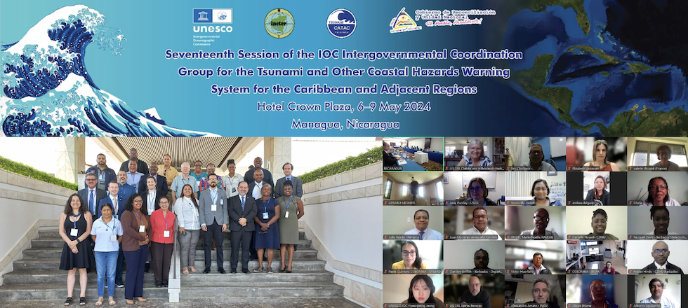
17th Session of the ICG/CARIBE-EWS took place in Managua, Nicaragua (6-9 May 2024)
The (hybrid) Seventeenth Session of the Intergovernmental Coordination Group for the Tsunami and other Coastal Hazards Warning System for the Caribbean and Adjacent Regions (ICG/CARIBE-EWS XVII) took place in Managua, Nicaragua during 6-9 May 2024 with the participation of 83 experts (28 in-person, 55 virtual) from 15 ICG/CARIBE-EWS Members States (8 in-person, 7 virtual), including 27 Observers.
Noting the cross-cutting elements of its work programme closely connected with the UN EW4All and guided by strategic elements such as the Ocean Decade Tsunami Program Research and Development Implementation Plan (ODTP) and UNESCO-IOC Tsunami Ready Recognition Programme (TRRP), the ICG/CARIBE-EWS at its 17th session decided to establish a Steering Committee not only to make a move towards harmonization of global ICG governance structures but also to ensure provision of strategic guidance to its work programme and serve as an efficient instrument of results-based management, especially in providing an oversight in the execution of its decisions and recommendations.
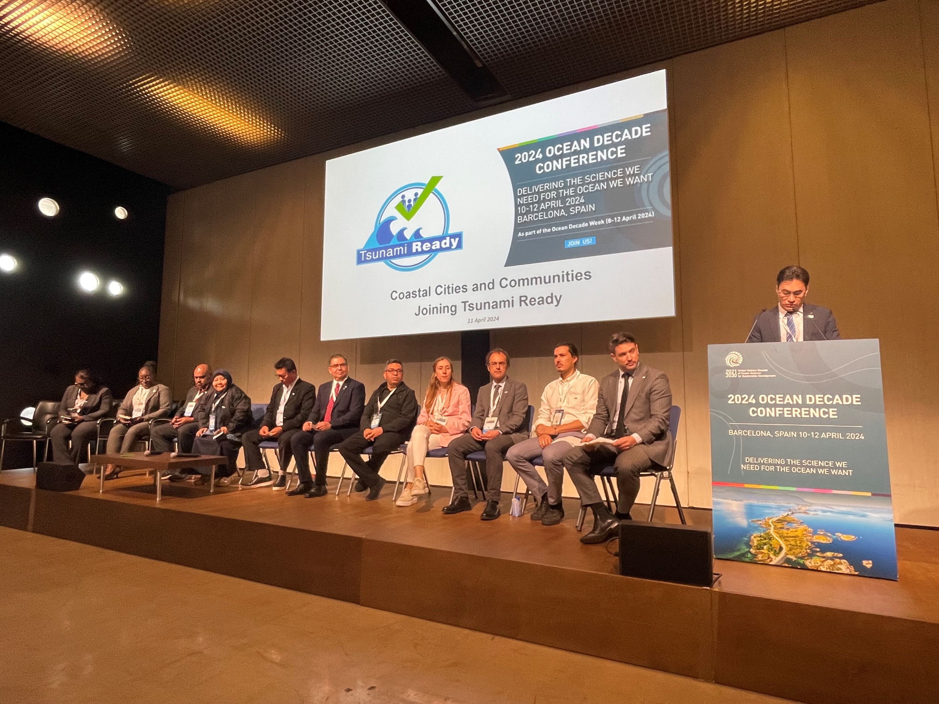
Strengthening Coastal Resilience: UNESCO-IOC Initiative Gathers Momentum
Coastal communities worldwide are uniting to bolster their resilience to ocean hazards. Convening at the sidelines of the 2024 Ocean Decade Conference in Barcelona, Spain (10-12 April 2024), on 11 April, experts and policymakers underscored the need for proactive measures to fortify resilience against tsunamis, aligning with the Ocean Decade Challenge 6 aimed at enhancing community resilience for ocean hazards.
Building Capacity in the North-West Indian Ocean Region in Tsunami Inundation Mapping and Evacuation Planning
Capacity building workshops on tsunami inundation mapping and tsunami evacuation planning were held as part of the UNESCO-IOC project on “Strengthening Tsunami Early Warning in the North-West Indian Ocean through Regional Cooperation – Phase 2c” with funding from the United Nations Economic and Social Commission for Asia and the Pacific (UNESCAP) Tsunami Trust Fund.
The workshops were hosted during 21-25 April 2024 by the Directorate General of Oman Meteorology of the Civil Aviation Authority in Muscat, Oman. Around 40 participants in tsunami warning, research, and disaster management from India, Iran, Pakistan, Oman, and the United Arab Emirates (UAE) attended the events in-person with a further 25 joining the online sessions. The workshops were facilitated by trainers from the UNESCO-IOC Indian Ocean Tsunami Information Center (IOTIC), UNESCO-IOC Secretariat for the Intergovernmental Coordination Group for the Indian Ocean Tsunami Warning and Mitigation System (ICG/IOTWMS), Germany, Indonesia, Iran, Italy, and Norway.
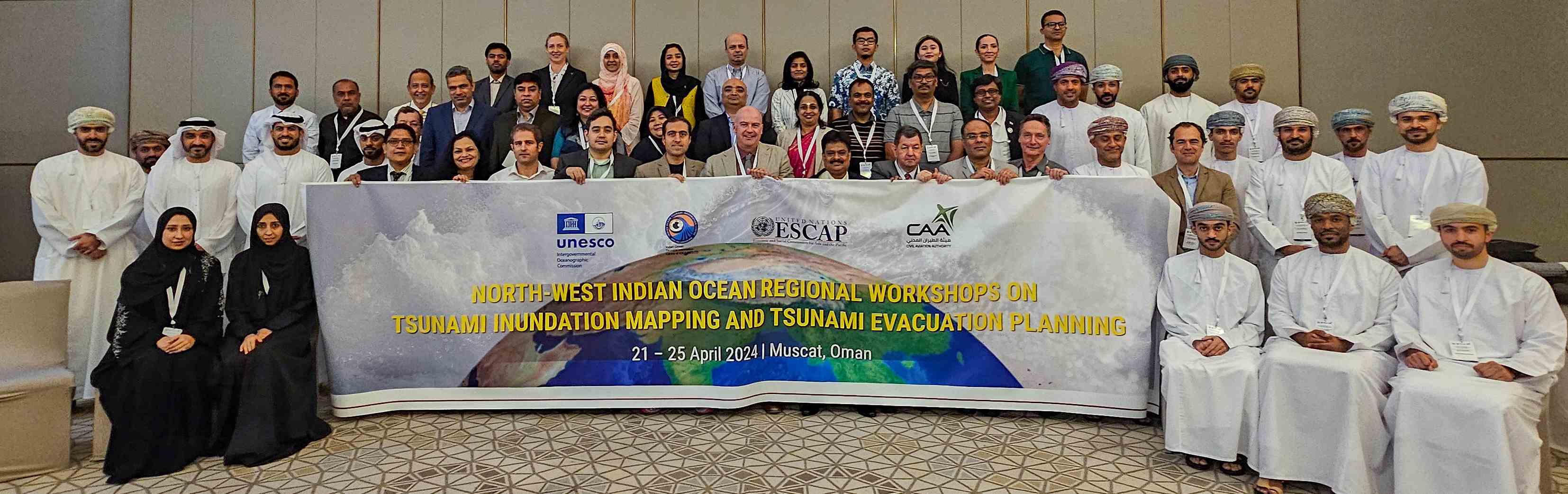
Participants at the workshops on tsunami inundation mapping and tsunami evacuation planning in Muscat, Oman during 21-25 April 2024.
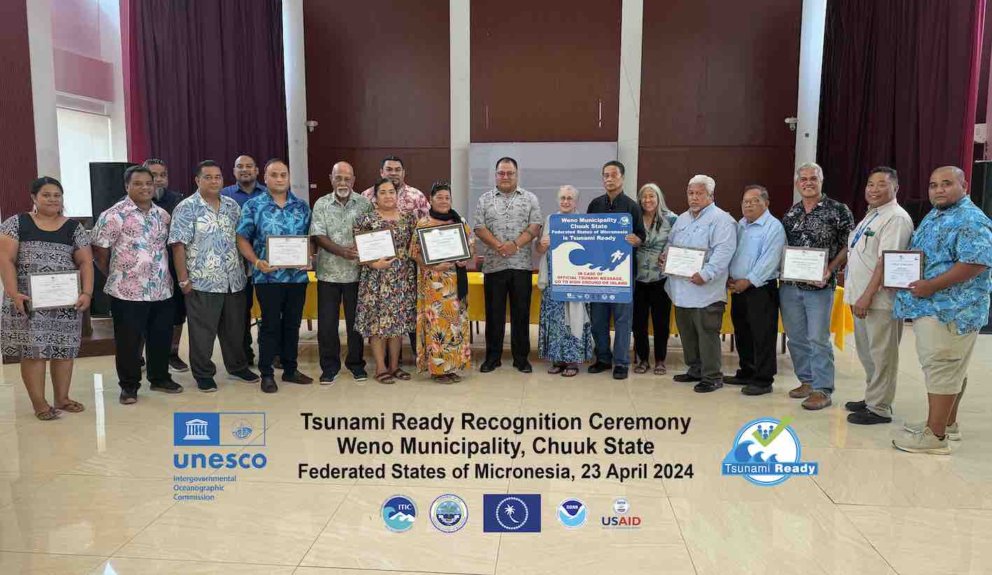
First Tsunami Ready Communities in the North Pacific
Last week, The Federated States of Micronesia (FSM) became the first country in the North Pacific to recognize communities under the UNESCO IOC Tsunami Ready Recognition Programme. On April 23, 2024, Weno Municipality of Chuuk State and on April 26, 2024, Kolonia Town, and the municipalities of Sokehs, Kitti, Madolenihmw, U, and Nett of Pohnpei Island, Pohnpei State, became the 55th and 56th communities globally. The recognitions were facilitated by the International Tsunami Information Center (ITIC), with support from USAID. The NOAA Center for Tsunami Research (NCTR) provided hazard assessments that each State used to develop evacuation zones and response plans, conduct exercises, and hold tsunami outreach to prepare their communities.
Más artículos...
- CARIBE WAVE 24 successfully conducted on 21 March 2024
- Eighteenth Session of the NEAMTWS Held in Paris, France. Praise for NEAMTWS Advances Amidst Emerging Challenges
- Remembering March 11, 2011: Honoring the Resilience, Reflecting on the Loss
- Seventeenth Meeting of TOWS-WG Concludes with Key Recommendations for Tsunami Preparedness
El programa sobre tsunamis
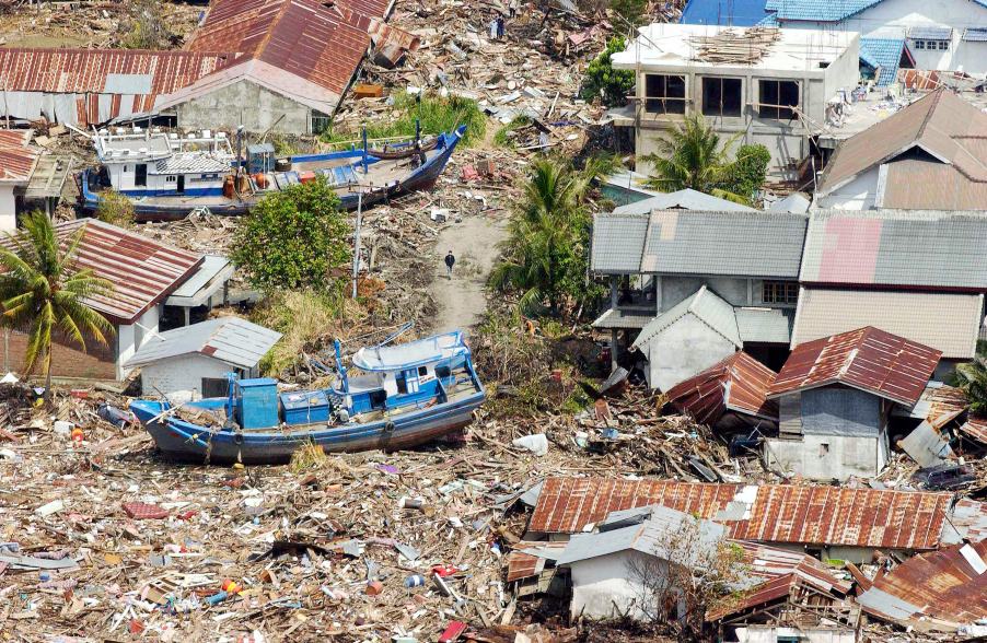
La costa de Indonesia, entre Banda Aceh y Meulaboh, tras el seísmo y tsunami del 26 de diciembre de 2004. Fotografía de Evan Schneider © Foto de Naciones Unidas
La UNESCO presta apoyo a los Estados Miembros con el fin de mejorar sus capacidades de evaluación de riesgos de tsunami, implantar sistemas de alerta temprana y mejorar la preparación de las comunidades amenazadas. La UNESCO colabora estrechamente con instituciones nacionales, y promueve la cooperación interinstitucional y regional. Los centros regionales especializados proporcionan información sobre los tsunamis que, conjuntamente con los análisis efectuados a nivel nacional, sirven para elaborar las alertas al público. Además, la UNESCO promueve metodologías comunitarias mediante el desarrollo de planes de respuesta y campañas de sensibilización, en las que participan en buena medida instituciones docentes y usuarios finales.
Upcoming Events
7 August 2024
19 August 2024
19 - 30 August 2024
Chile