Sea Level Monitoring
TSU/MAB Coastal Hazards Project
Commemorating the WTAD, 5 November 2019 in NEAM region
Latina, Italy
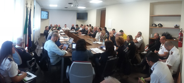
A Tsunami exercise was organized in Latina on 10 October 2019. The exercise, named ‘TSUNEXTT’, tested standard operating procedures of institutions and municipalities that manage a tsunami risk emergency. The exercise simulated an emergency connected to a hypothetical tsunami. During this event, the SiAM Alert System (National Alert System for Tsunamis) was tested at national level by the DPC in collaboration with the CAT - INGV and the ISPRA. This event was organized by the Regional Civil Protection Agency of Lazio, the Prefecture of Latina, and twelve coastal municipalities of the Province, with the collaboration of the Department of Protection Civil (DPC), the National Institute of Geophysics and Volcanology (CAT-INGV), and the Higher Institute for Environmental Protection and Research (ISPRA). In addition, the Police, the Fire Department, the Harbor Master's Office, the local Health unit (ASL), the regional Health Emergency unit and the Red Cross participated in the exercise that was held "for command posts". The following video presents the three phases of the "seismic event alert"- from the "launch" of the alert to the end-of-event message that is sent to the structures in charge. Details of the exercise can be found here (in Italian).
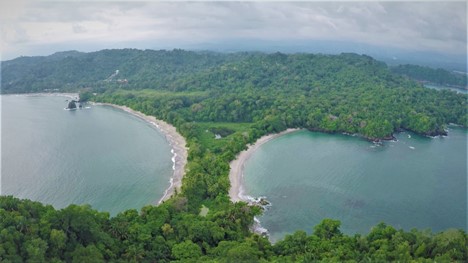
Bodrum, Turkey
Turkey carried out two tsunami awareness raising and preparedness seminars and one table-top exercise.The tsunami awareness-raising seminar occurred in a primary school in Bodrum, Turkey, while a preparedness seminar was held at a hotel.
The table-top exercise was based on the 20 July 2017 Mw 6.6 Bodrum-Kos earthquake which provided an opportunity to assess the benefits of various activities undertaken since the 2017 earthquake. Among these activities, meetings were organized with local stakeholders on tsunami hazard-risk-awareness-readiness, preparation of tsunami inundation and evacuation maps, and installation of pilot local tsunami early warning system in the Bodrum Marina. After the exercise, a press conference was organized in Bodrum with the aim of raising tsunami awareness in the region, resulting in a national press release concerning these activities, which was issued by the Boğaziçi University. The Mugla City Disaster and Emergency Management Presidency (Mugla AFAD) coordinated the table-top tsunami exercise. In addition, The District Governorship of Bodrum, the Municipality of Bodrum, the Kandilli Observatory and Earthquake Research Institute (KOERI), the Middle East Technical University (METU), the Bodrum Port Authority, and various NGOs, supported the exercise as part of the “Last Mile Turkey”, pilot project funded and supported by the European Commission Joint Research Centre (EC-JRC).
Kos, Greece
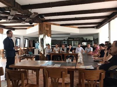
As part of the 'Tsunami Last Mile' research project, funded by the European Commission DG ECHO, an earthquake and tsunami preparedness exercise was organized in the city of Kos, Greece. The purpose of the exercise, named KOSWAVE19-LM, was to test the effectiveness of a new series of technological solutions, developed by the Joint Research Center (JRC) to provide tsunami early warnings to the local population, its integration into the municipality emergency management plan and procedures, and its interface with the national tsunami warning system. Moreover, the exercise aimed to provide opportunities for emergency management authorities to define their emergency plans, exercise their operational lines of communications, and promote tsunami preparedness in the community. The exercise scenario is similar to the event of 21 July 2017, when a strong earthquake of magnitude 6.6 struck between the city of Kos (Greece) and Bodrum (Turkey) which generated a damaging tsunami (1.5 m) that hit the Bodrum peninsula and the city of Kos. Two local schools have participated in the exercise, and the students were asked to ‘get under their desk and cover’ during the earthquake shaking, to then ‘go outside’ after the shacking subsides, and after the tsunami warning is issued, ‘to move to the nearest assembly area’ through pre-defined evacuation routes using preinstalled signage along the routes. The participants learned about the Tsunami Last Mile technologies installed in the city of Kos, the purpose and aim of the exercise, as well as its organizational structure. The exercise was co-organized by the Municipality of Kos, the Hellenic National Tsunami Warning Center of the National Observatory of Athens (NOA) and the Joint Research Center (JRC). An event was also organized to inform the public about the earthquake and tsunami preparedness exercise.
In Egypt, the National Institute of Oceanography and Fisheries, organized a one-day workshop on the World Tsunami Awareness Day, while in Portugal the Civil Protection municipalities in Cascais and Portimão planned to show the public and the press their local warning system (signs, sirens, evacuation routes).
21st Conference of the IHO Mediterranean and Black Seas Hydrographic Commission: Towards Improved Collaboration for a Predicted and Safer Ocean
The 21st Conference of the Mediterranean and Black Seas Hydrographic Commission (MBSHC) was held from 11 - 13 June 2019 in Cádiz, (Spain). IOC was invited to speak on the ongoing and future collaboration with MBSHC. Denis Chang Seng provided a progress report for the North-eastern Atlantic, Mediterranean and connected seas Tsunami Warning System (NEAMTWS). Key recommendations to the MBSHC conference included improved bathymetry, sharing of bathymetry data and densifying sea level networks particularly nearby tsunamigenic sources for improved hazard assessments and coastal early warning systems.
Denis Chang Seng also provided a brief update on the preparations for the UN Decade of Ocean Science for Sustainable Development (2021-2030) and informed about the plans for regional consultation workshops in 2019-2020 (including the Mediterranean) to engage regional and local stakeholders in the design of the Decade. The MBSHC conference welcomed the proposal to organize a regional consultation workshop for the Mediterranean.
The Director of IHO Rear Admiral Mustafa Iptes stressed IHO’s strong support to the UN Decade for Ocean Science and that the Nippon Foundation-GEBCO Seabed 2030 Project will be an important contribution towards the Decade.The International Hydrographic Organization (IHO) is an intergovernmental consultative and technical body. It aims to support safe navigation and protection of the marine environment. The General Bathymetric Chart of Oceans (GEBCO) is sponsored by IHO and IOC.
MHEWS – A Proven Contribution to Sustainable, Resilient and Inclusive Societies
The Second Multi-Hazard Early Warning Conference was held in Geneva, Switzerland, on 13-14 May 2019 ahead of the Global Platform for Disaster Risk Reduction (GPDRR). It was organised by the World Meteorological Organization (WMO), the United Nations Office for Disaster Risk Reduction (UNDRR) and a consortium of international partners, including the Intergovernmental Oceanographic Commission (IOC) of UNESCO.
The MHEWC-II demonstrated that MHEWS are sound investments and have been proven to enhance resilience of communities at risk and reduce costs of response and recovery. Additional investments, together with better harmonization, coordination and partnerships are required to reach targets of the Sendai Framework, the 2030 Development Agenda and the Paris Agreement. In particular, the International Network of Multi-Hazard Early Warning System (IN-MHEWS) is committed to continue advocating for the implementation and strengthening of MHEWS and developing actions to support countries in building their national systems and to contribute to achieving Target G of the Sendai Framework.
In a panel session on ‘Making Early Warning System Multi-hazard’, Denis Chang Seng, IOC Programme Specialist discussed the IOC Global Tsunami Early Warning Systems, highlighting the key achievements, challenges (including non-seismic tsunamis) and opportunities to further advance the system. The conference was attended by 320 participants from all regions of the world, including international, regional, national and local organizations & the public and private sector, civil society and academia.
Mr. Petteri Taalas, Secretary General, WMO reported outcomes of the MHEWC-II at the Global Platform Meeting on 17 May 2019.
More information about the two meetings are available at:
https://mhews.wmo.int/en/partners
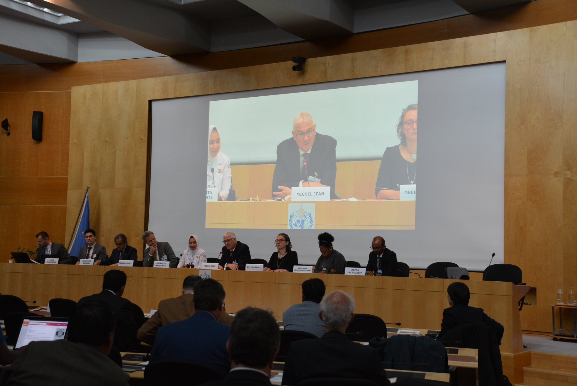
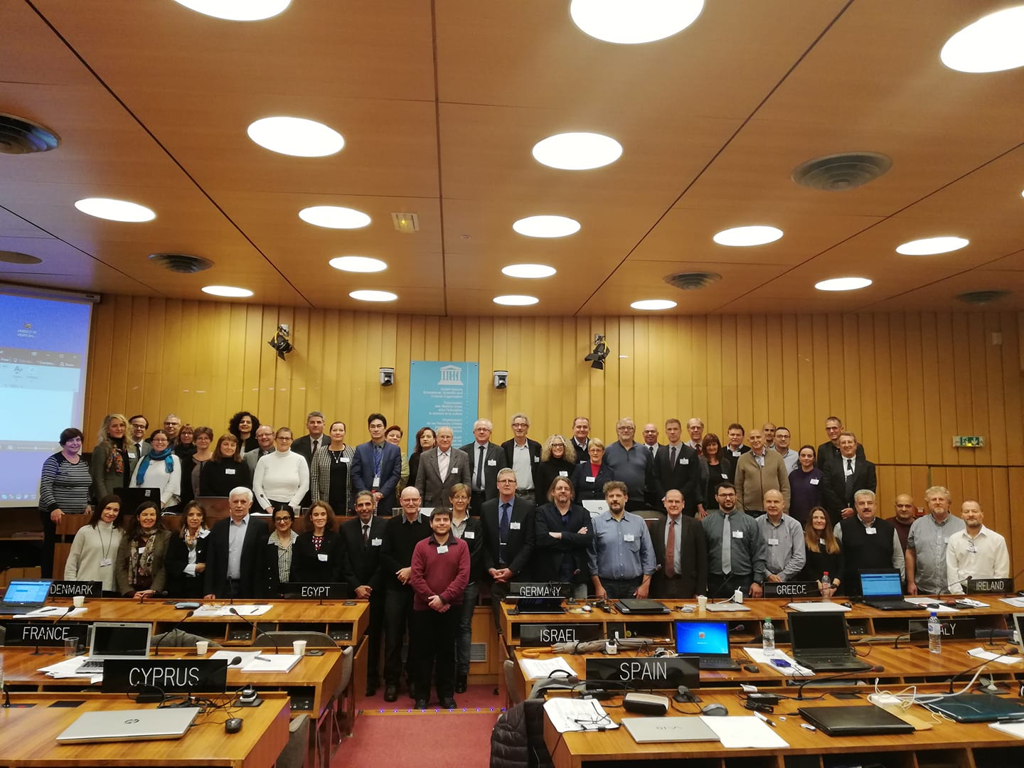
Fifteenth Session of the Intergovernmental Coordination Group for the Tsunami Early Warning and Mitigation System in the North-eastern Atlantic, the Mediterranean and Connected Seas (ICG/NEAMTWS-XV): IMPA, Portugal to Apply for TSP Accreditation
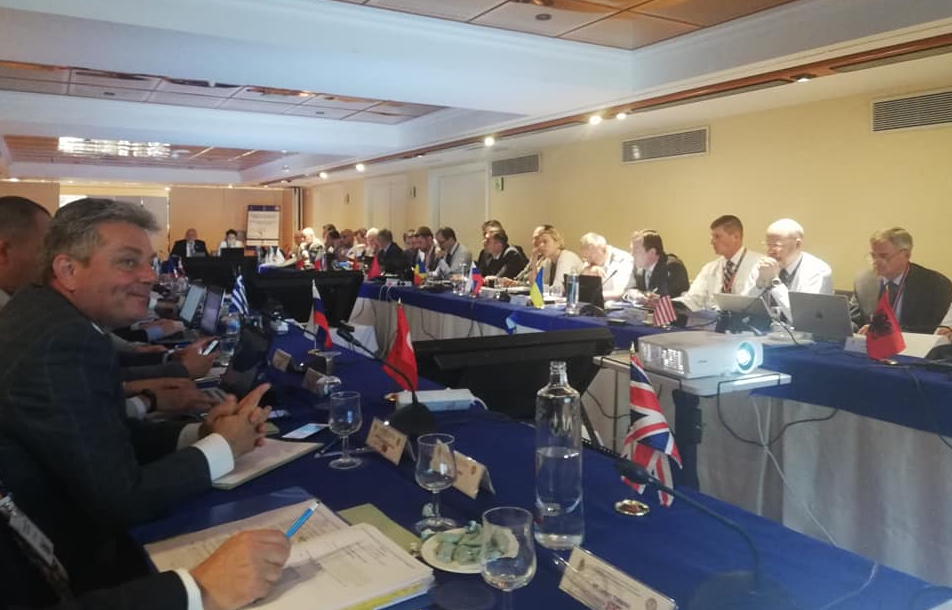
The Fifteenth Session of the Intergovernmental Coordination Group for the Tsunami Warning and Mitigation System in the North-eastern Atlantic, the Mediterranean and connected seas (ICG/NEAMTWS) was held from 25–28 November 2018, Paris, France at UNESCO Headquarters.
Participants reviewed the progress made in the implementation of the NEAMTWS.
The Group discussed and approved the NEAMWave17 exercise (31 October - 3 November 2017 that tested the system in both its up-stream and down-stream elements) evaluation report.
The ICG was informed of the intention of IPMA, Portugal to apply for accreditation to become Tsunami Service Provider in the next intersessional period.
The session appreciated the continued effort of IOC in organising workshops in North-African countries supporting the further development of national tsunami early warming and mitigation capacities.
The Group welcomed the survey, analysis and proposed strategies for revitalizing NEAMTIC (Tsunami Information Center), and tasked Working Group 4 on Public Awareness, Preparedness and Mitigation with further analysis and requested an action plan for the redevelopment of the NEAMTIC website, and to report at the next ICG/NEAMTWS Steering Committee.
A significant part of the session explored future opportunities towards the establishment of a Tsunami Thematic Core Service (TCS) within EPOS – The European Plate Observing System, and European Research Infrastructure Consortium (ERIC).
The session appreciated a presentation by Cecilia Valbonesi, INGV Rome – University of Florence on legal aspects of risk governance - liability of scientist and Civil Protection Authorities in Tsunami Warning System.
The ICG/NEAMTWS decided to organise and conduct the fourth tsunami exercise in 2020 (NEAMWave20).
The Fifteenth Session of ICG/NEAMTWS was attended by 61 participants from 17 member states and 3 observer organizations.
International Post-Tsunami Survey: Palu-Donggala Tsunami of 28 September 2018
The 7.5 magnitude earthquake and subsequent tsunami that hit Palu and Donggala in Central Sulawesi Indonesia, Friday 28 September 2018, has killed at least 2,100 people (as on 15 October 2018). Further, some 680 people are missing, 4,612 injured and 78,994 are displaced in over three most affected areas, Donggala, Palu City, and Sigi. In order to improve our understanding of tsunamis and to develop tools and programmes to mitigate their effects, it is vital to learn from this disaster.
Following a request from Indonesia, UNESCO’s Intergovernmental Oceanographic Commission, in collaboration with Indonesian authorities led by the National Commission of Indonesia for IOC-UNESCO and the Coordinating Ministry for Maritime Affairs, will coordinate post-tsunami surveys by International Tsunami Survey Teams (ITST-Palu). These surveys will complement similar efforts by the Indonesian National Survey Teams (NTST-Palu), contribute to understanding the characteristics and impacts of the tsunami, and provide information to Government of Indonesia to enable enhancement of tsunami disaster risk management practices.
Please note that the recommended window for international teams to conduct surveys is during 18 October to 30 November 2018, during which time NTST can provide assistance. It is important to identify an Indonesian collaborator for the field survey and also to obtain appropriate research/survey permit and Visas. Further information is available in these reference documents - (i) Guiding Principles* (ii) Framework and Protocols* (iii) Indonesian Visa & Permit Procedures* and (iv) IOC Manuals and Guides 37 (2nd edition).
The ITST-Palu Coordination Team (ICT) will handle international coordination for this effort. The ICT will be headquartered at the Indian Ocean Tsunami Information Centre (IOTIC) – BMKG Programme Office in Jakarta. ICT will ensure that the scientific surveys are well organised, effective and productive. It will promote sharing of data among field teams, minimise logistical problems for visitors/hosts, link visiting researchers to Indonesian collaborators and provide a summary report to the Government of Indonesia based on reports from all survey teams.
All international researchers planning to undertake post-tsunami field surveys may contact ITST-Palu. Please address all communication to Mr. Ardito M Kodijat, Head IOTIC (Cette adresse e-mail est protégée contre les robots spammeurs. Vous devez activer le JavaScript pour la visualiser.; Cette adresse e-mail est protégée contre les robots spammeurs. Vous devez activer le JavaScript pour la visualiser.), cc éd to Srinivasa Kumar Tummala, Head, IOTWMS Secretariat (Cette adresse e-mail est protégée contre les robots spammeurs. Vous devez activer le JavaScript pour la visualiser.; Cette adresse e-mail est protégée contre les robots spammeurs. Vous devez activer le JavaScript pour la visualiser.) and Laura Kong, Head, ITIC (Cette adresse e-mail est protégée contre les robots spammeurs. Vous devez activer le JavaScript pour la visualiser.).
* Updated on 22 October 2018 with information on expedited visa and permit procedures.
Le Chili accueille des experts en systèmes d’alerte précoces aux tsunamis des Caraïbes, du Pacifique et d'Europe dans le cadre du tout premier programme de formation conjointe
C'est la première fois que la formation réunissait des experts de plusieurs bassins océaniques, une initiative qui, les organisateurs l'espèrent, suscitera de nouveaux dialogues et échanges scientifiques sur les meilleures pratiques à travers les expériences nationales et régionales en matière d'alerte précoces aux tsunamis.
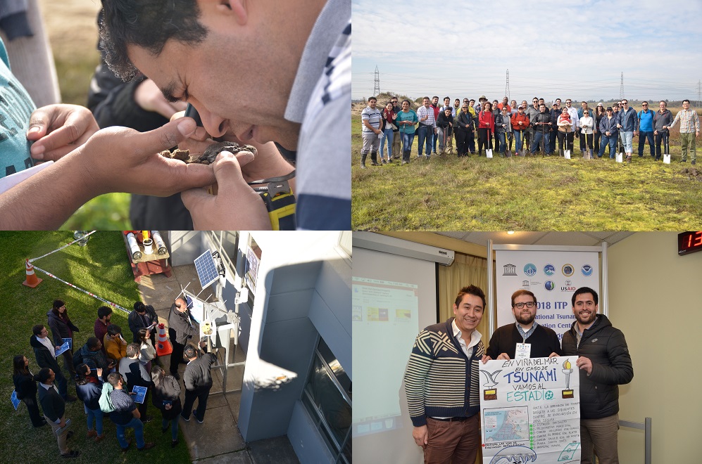 La formation de deux semaines (1-10 août 2018) a eu deux objectifs : la première semaine a porté sur la sismologie et l'évaluation des risques de tsunamis pour la planification et la prise de décisions en matière d'alerte. La deuxième semaine était axée sur l'alerte aux tsunamis et la chaîne d'intervention d'urgence – des centres d'alerte aux tsunamis jusqu'au public – et a souligné l'importance de la mise en œuvre de procédures opérationnelles normalisées (SOP) pour permettre aux autorités de réagir de manière systématique et rapide aux tsunamis. La formation a utilisé le Système national d'alerte précoce aux tsunamis du Chili (SNAM) comme exemple de travail, reconnaissant ainsi également sa constante amélioration au cours des dernières années.
Les activités de formation ont inclus la prise de décisions en matière d'alerte, l'utilisation d'outils d'aide à la décision, la planification des évacuations, la sensibilisation du public, des exercices, ainsi qu'une excursion sur le terrain pour mieux comprendre les dépôts sédimentaires dus aux tsunamis et visiter des installations portuaires de classe mondiale résistantes aux tsunamis. Les participants ont également pu visiter des organismes chiliens impliqués dans les interventions d'urgence.
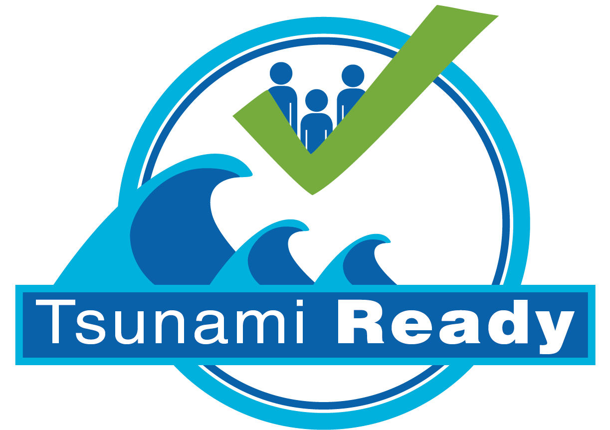
« Nous avons mis l'accent sur la préparation des communautés, en particulier pour les tsunamis locaux, par le biais de programmes Tsunami Ready, » a ajouté Bernardo Aliaga, spécialiste en alerte précoce aux tsunamis à la Commission océanographique intergouvernementale de l'UNESCO et l'un des coorganisateurs de la formation. Le programme Tsunami Ready de la COI récompense les communautés et les pays qui répondent aux exigences internationales en matière de préparation et de réponse à ces catastrophes naturelles.
Cette formation au Chili s’inscrit dans le Programme de formation sur les Système d'alerte aux tsunamis et de mitigation, organisé depuis 1974 par le Centre international d'information sur les tsunamis (ITIC) en collaboration avec la Commission océanographique intergouvernementale de l'UNESCO. L’ITIC est hébergé par la National Oceanographic and Atmospheric Administration (NOAA) des États-Unis et le Service hydrographique et océanographique de la marine chilienne (SHOA).
Au lendemain du tsunami qui s’est produit dans l'océan Indien faisant près de 230 000 victimes dans quatorze pays, le programme de formation COI-ITIC a aidé à préparer les organismes nationaux membres de systèmes régionaux d'alerte précoces aux tsunamis à planifier et élaborer des protocoles pour avertir rapidement et évacuer le public le plus tôt et le plus méthodiquement possible. Depuis 2005, plus de 120 formations ont été menées et ont atteint plus de 3 000 représentants nationaux à travers le monde.
Plus d'articles...
Sous-catégories
-
Latest News
- Nombre d'articles :
- 83
-
Newsletter
- Nombre d'articles :
- 5
-
On focus
- Nombre d'articles :
- 5
-
IOTWS News
- Nombre d'articles :
- 1