Sea Level Monitoring
TSU/MAB Coastal Hazards Project
International Symposium on Lessons Learnt from the 2018 Tsunamis in Palu and Sunda Strait
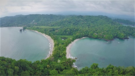
Indonesia was hit by two destructive tsunamis in late 2018 - the first event was the Palu and Donggala tsunami of 28 September 2018 following the 7.5 magnitude earthquake in Central Sulawesi that killed about 1252 people. The second was the Sunda Strait tsunami of 22 December 2018 following an eruption and partial collapse of the Anak Krakatau volcano that killed about 426 people.
In commemoration of one year of the Palu and Donggala tsunami, UNESCO’s Intergovernmental Oceanographic Commission (IOC) in collaboration with the Coordinating Ministry for Maritime Affairs (CMMA) and the Indonesian Agency for Meteorology, Climatology, and Geophysics (BMKG) with support from several other national and international partners orgnised an International Symposium on” Lessons Learnt from the 2018 Tsunamis in Palu and Sunda Strait” at BMKG, Jakarta, Indonesia during 26-28 September 2019.
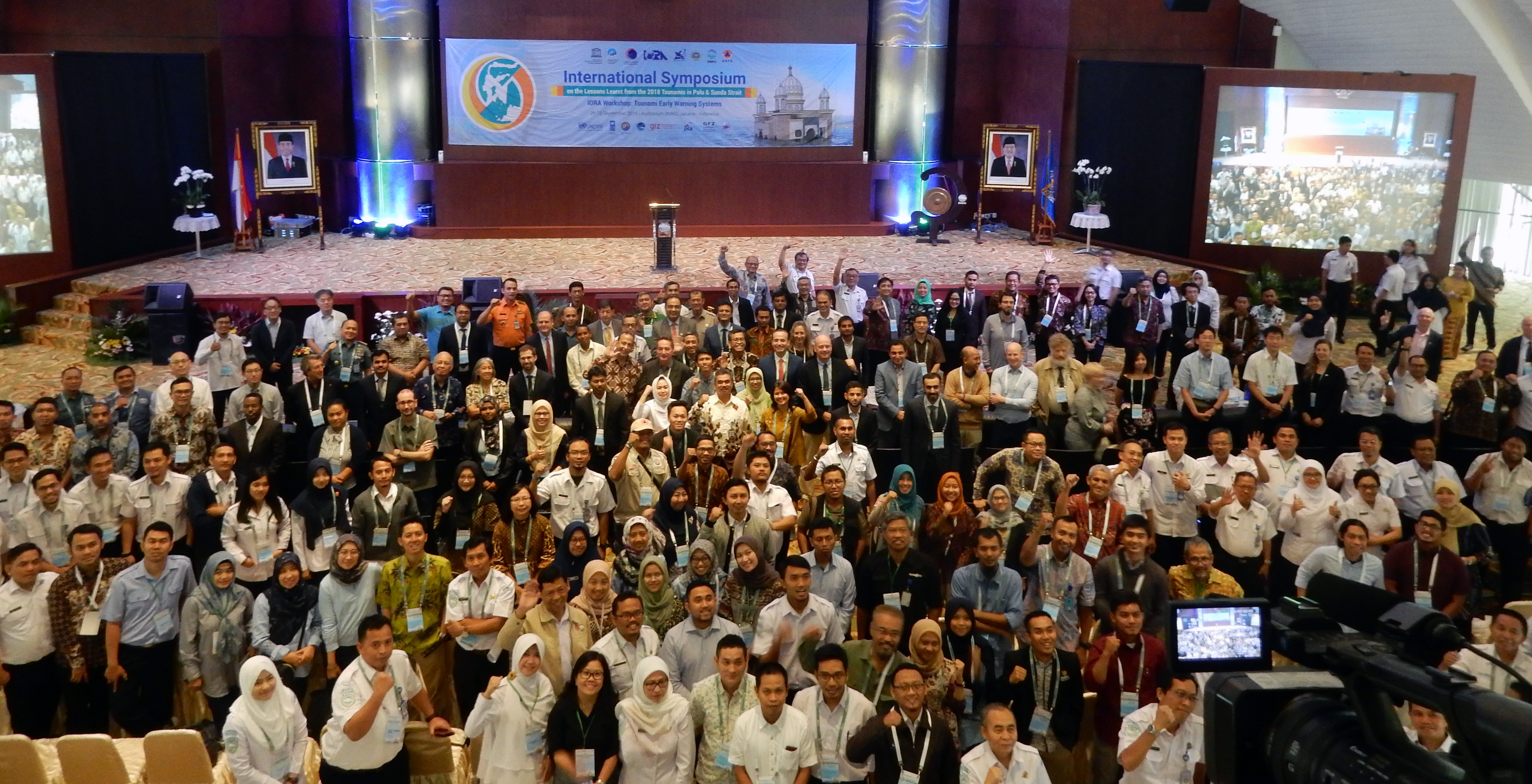 More than 270 participants from 24 countries attended the symposium. A total of 32 talks, 25 posters and 25 photo exhibits were presented at the Symposium covering scientific findings from the International Post Tsunami Survey Teams (ITST), critical issues surrounding warning systems and possible improvements.
After the 26 December 2004 tsunami, much progress has been made in the establishment of IOC-coordinated regional tsunami early warning systems in the Indian Ocean, Caribbean and Northeast Atlantic & Mediterranean. The three systems join the system that was already operational in the Pacific. While tsunami warning systems have proven to be effective in mitigating the impact of tsunamis globally, Palu and Sunda Strait tsunamis highlighted the challenges that we continue to face.
The symposium highlighted that tsunamis generated by near-field, atypical sources (coastal subsidence, landslides and volcanic flank collapse) are very complex from an early warning perspective, and emphasized the urgent need to update hazard assessments, strengthen warning capabilities and enhance community preparedness to deal with such events. Managing and improving tsunami warning systems require effective governance mechanism and policies at the national level.
The symposium appealed to countries to strengthen warning systems through new observing technologies such as undersea cables and Global Navigation Satellite System (GNSS), share more of “real-time” data from their observing networks and implement new monitoring techniques for tsunamis from atypical sources. It is important to review and revise national warning dissemination mechanisms and standard operating procedures, to be able to deliver timely, simple and actionable messages to the public.
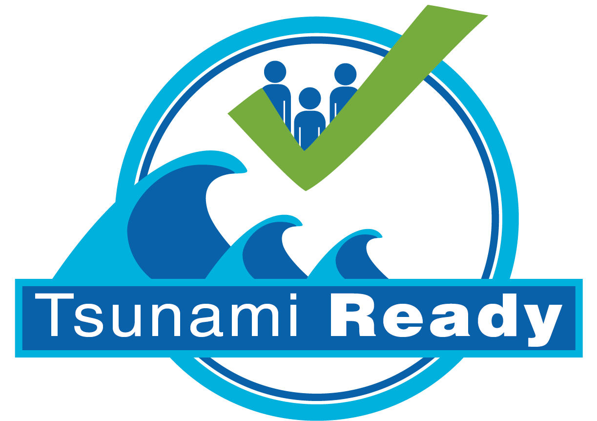
Developing and maintaining a culture of self-evacuation is important for saving lives from locally generated tsunamis. The symposium stressed the importance of community awareness and preparedness to enable rapid appropriate response to both official warnings and to the natural signs of a possible tsunami. Performance based community recognition programs such as IOC UNESCO Tsunami Ready can also contribute to enhance tsunami preparedness.
The symposium reiterated the importance of post-event surveys, and the need to conduct them as soon as practically possible based on well-established protocols and national regulations. It is also important to document past tsunamis for the benefit of future generations through eye witness interviews, especially for areas with few historical tsunamis and no quantitative observational records.
A publication by on the “Limitations and Challenges in Tsunami Early Warning Systems: A Case Study of 28 September 2019 Palu-Donggala Tsunami” was launched during the symposium. Presentations from the Symposium will be made available at http://www.ioc-tsunami.org/palu.
The Symposium was followed by meetings of the ICG/IOTWMS subsidiary bodies during 29 September to 02 October 2019.
Modelling inundation to respond to tsunami threats: First training for the Pacific Islands takes place on the 10th anniversary of the 2009 Samoa tsunami
Nadi, Fiji, 30 September 2019 – The first training of the Tsunami Evacuation Maps, Plans and Procedures Programme (TEMPP 1), co-sponsored by the Building Safety and Resilience in the Pacific (BSRP) Project of the Pacific Community (SPC) and UNESCO’s Intergovernmental Oceanographic Commission (IOC-UNESCO), took place on 30 September - 4 October 2019 in Nadi, Fiji.
The TEMMP 1: Inundation Modelling and Mapping training was the first of five trainings targeting Seismologists, Meteorologists, GIS specialists, Disaster Management Operators from National Tsunami Warning Centers, Seismological , Meteorological and Geohazard Departments and National Disaster Management Offices, that will culminate in community drills for the participating countries. The TEMPP Programme responds to the recommendations of the Seventh Meeting of the Pacific Island Countries and Territories Regional Working Group on Tsunami Warning and Mitigation that was held in Noumea, New Caledonia in March 2019 and it is a direct contribution to the Samoa Pathway.
The training participants were nominated by Tsunami National Contacts in Papua New Guinea, Solomon Islands, Vanuatu, Fiji, Tuvalu, Tonga and Samoa.
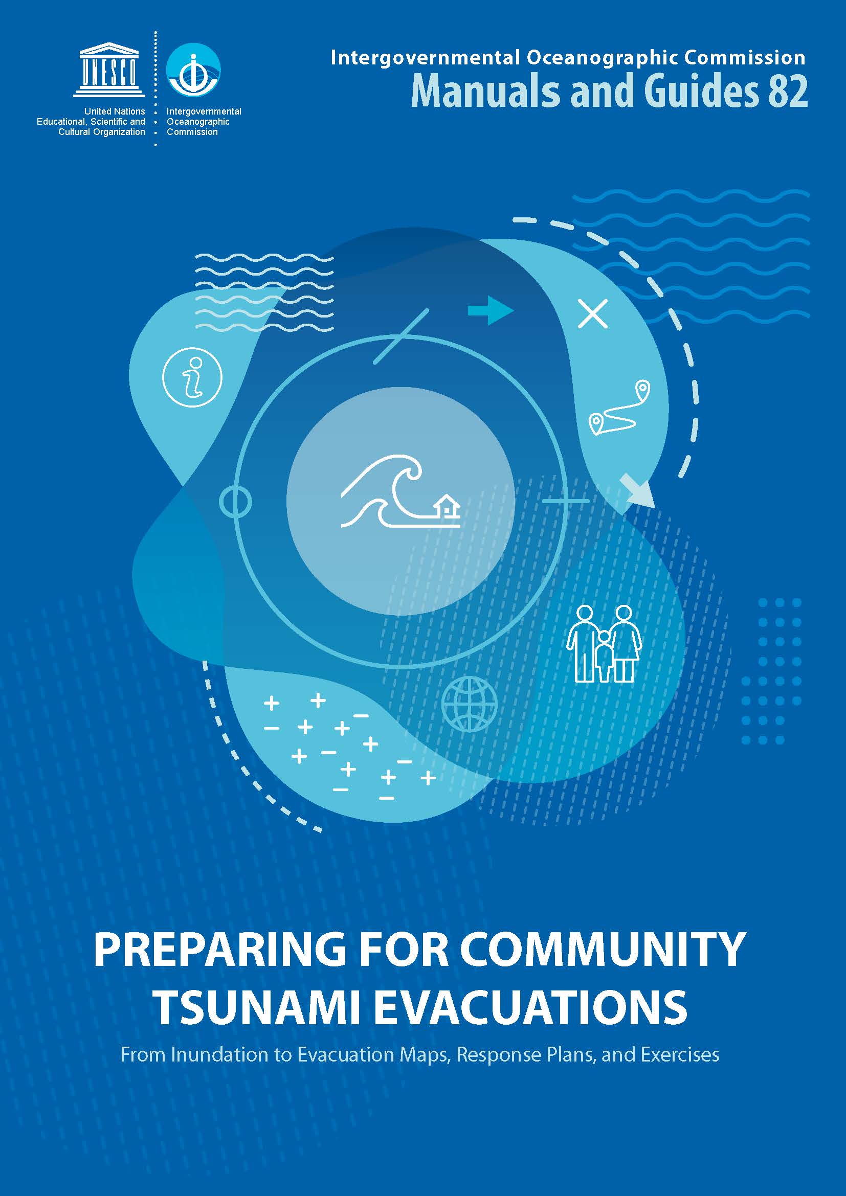
The TEMPP Programme is a standardized course and process for the production of reliable and practical community-level tsunami evacuation maps, and follows IOC Manuals and Guide 82, Preparing for Community Tsunami Evacuations: from inundation to evacuation maps, response plans and exercises. Upon completion of the Programme, countries should have sufficient knowledge and capability to replicate the process in other tsunami-prone communities. The TEMPP process also helps communities become UNESCO IOC Tsunami Ready.
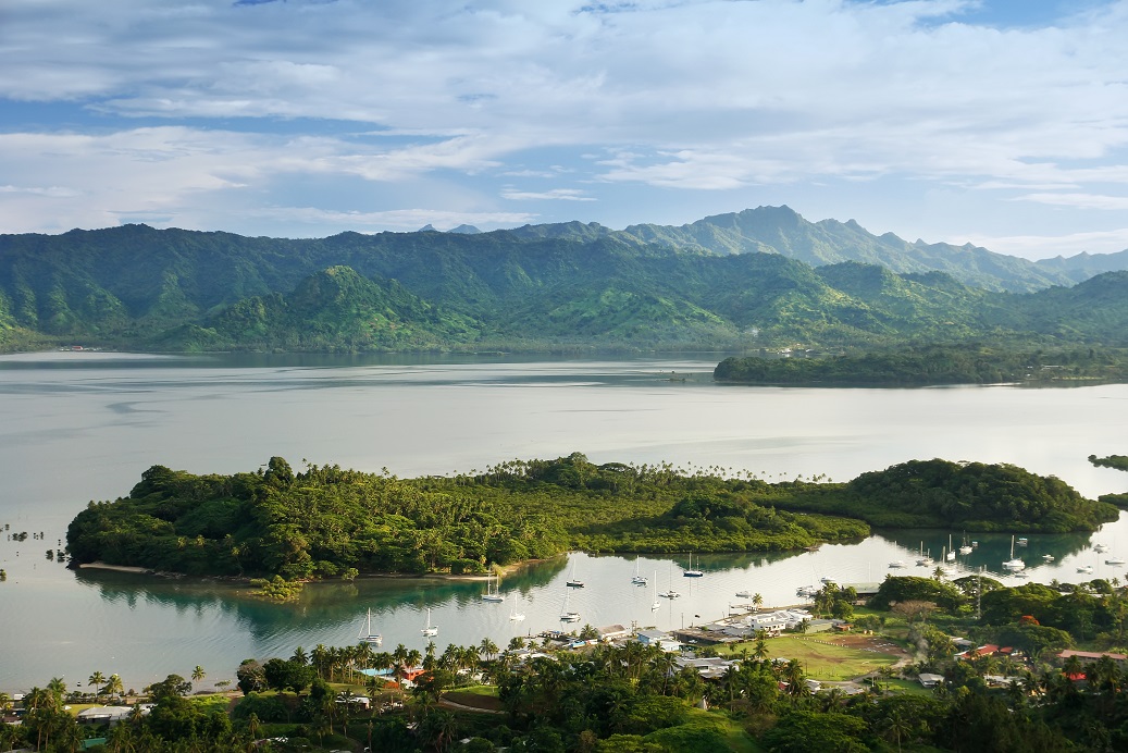
The Training provided also an opportunity to commemorate the 2009 Samoa, American Samoa and Tonga Tsunami, which on 29 September killed 149 in the independent country of Samoa, 34 in American Samoa, and nine people in Tonga, and caused damage for more than $150 million in Samoa alone.
The regular training of communities living in tsunami hazard zones is essential to increasing their preparedness to natural disasters. Partnering with regional and local authorities such as the Pacific Community is key to the sustainability of the whole Programme.
IOC-UNESCO and UNESCAP launch the project on strengthening tsunami early warning in the North West Indian Ocean region through regional cooperation
The Indian Ocean Tsunami Warning and Mitigation System (IOTWMS) was established by the Intergovernmental Oceanographic Commission (IOC) of UNESCO in response to the tragic Boxing Day tsunami of 26 December 2004 that led to 230,000 deaths in several countries bordering the Indian Ocean. The IOTWMS became operational in 2013 with Tsunami Service Providers established by Australia, India and Indonesia starting to provide tsunami services to 28 Member States in the region.
The Makran Subduction Zone (MSZ) off the coast of Iran and Pakistan is still poorly understood. Several decades after the 1945 tsunami caused hundreds of confirmed fatalities in the North West Indian Ocean (NWIO) region, there are still open questions about whether the Makran Subduction Zone is able to generate such large tsunamis in the future. In the worst case, tsunami waves generated by a Makran source could reach shores of India, Iran, Pakistan, Oman and other adjoining countries within a few tens of minutes with height of several metres, posing enormous challenges to existing tsunami warning systems.
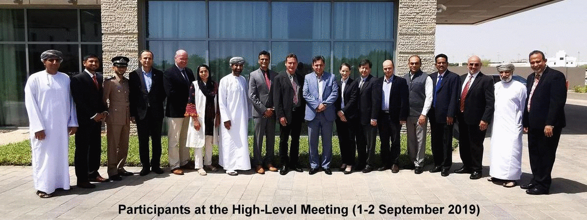
To address these gaps, the Intergovernmental Oceanographic Commission (IOC) of UNESCO is implementing a multi-national project aimed at “Strengthening tsunami early warning in the North West Indian Ocean region through regional cooperation”. Funded by the United Nations ESCAP Trust Fund for Tsunami, Disaster and Climate Preparedness, the project will enable better understanding of Makran tsunami hazard and enhance preparedness of countries in the region to respond to a near-field tsunami threat. The project was launched during two back to back meetings hosted in Muscat by the Oman Directorate General of Meteorology.
The first meeting (01-02 September 2019) was a high-level conference on tsunamis in the Makran region that reflected on national strategies for tsunami early warning and community preparedness in the context of near-field tsunamis. The second meeting (03-06 September 2019) was an Expert Meeting that resulted in formulating a strategy for regional cooperation to develop a regional tsunami hazard map for Makran region. Participants at these events included representatives of tsunami warning centres, disaster management agencies, seismologists and tsunami modellers from India, Iran, Pakistan, Oman and United Arab Emirates, and experts from Australia, Germany, Italy, Norway, Portugal, USA and UN agencies.
The participants agreed on the immediate need to strengthen national coordination mechanisms for tsunami early warning; revise early warning chains and standard operating procedures of National Tsunami Warning Centres, Disaster Management Offices and Media; and develop a regional seismicity model and probabilistic tsunami hazard assessment for the Makran region. A time-bound plan to implement these activities through a series of national and regional workshops and expert consultations to be held in India, Iran, Pakistan and Oman has also been finalised. Exercise Indian Ocean Wave 2020 (IOWave20) scheduled during September/October 2020 will be used as an opportunity to test these project interventions.
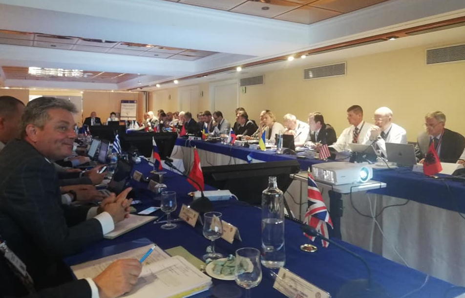
21st Conference of the IHO Mediterranean and Black Seas Hydrographic Commission: Towards Improved Collaboration for a Predicted and Safer Ocean
The 21st Conference of the Mediterranean and Black Seas Hydrographic Commission (MBSHC) was held from 11 - 13 June 2019 in Cádiz, (Spain). IOC was invited to speak on the ongoing and future collaboration with MBSHC. Denis Chang Seng provided a progress report for the North-eastern Atlantic, Mediterranean and connected seas Tsunami Warning System (NEAMTWS). Key recommendations to the MBSHC conference included improved bathymetry, sharing of bathymetry data and densifying sea level networks particularly nearby tsunamigenic sources for improved hazard assessments and coastal early warning systems.
Denis Chang Seng also provided a brief update on the preparations for the UN Decade of Ocean Science for Sustainable Development (2021-2030) and informed about the plans for regional consultation workshops in 2019-2020 (including the Mediterranean) to engage regional and local stakeholders in the design of the Decade. The MBSHC conference welcomed the proposal to organize a regional consultation workshop for the Mediterranean.
The Director of IHO Rear Admiral Mustafa Iptes stressed IHO’s strong support to the UN Decade for Ocean Science and that the Nippon Foundation-GEBCO Seabed 2030 Project will be an important contribution towards the Decade.The International Hydrographic Organization (IHO) is an intergovernmental consultative and technical body. It aims to support safe navigation and protection of the marine environment. The General Bathymetric Chart of Oceans (GEBCO) is sponsored by IHO and IOC.
Partnership for Strengthening School Preparedness for Tsunami in Asia and the Pacific
The Sub-Regional Lessons Learnt and Work Planning Meeting of the Phase II of the “Partnerships for Strengthening School Preparedness for Tsunami in Asia and the Pacific” project was held in Nadi, Fiji, on 28th – 29th May 2019. It was organized by the United Nation Development Program (UNDP) Pacific Office in collaboration with the Government of Fiji and the Intergovernmental Oceanographic Commission (IOC) of UNESCO.
The United Nations Development Programme Bangkok Regional Hub (UNDP BRH) implemented the first phase with the support of Japan-UNDP Partnership Fund and Supplementary Fund from Japan. The project established partnership with the International Tsunami Information Centre (ITIC), Indian Ocean Tsunami Information Centre (IOTIC), the Indonesia Institute of Sciences (LIPI) and Tohoku University (IRIDeS), that provided reliable source of information and comprehensive advice.
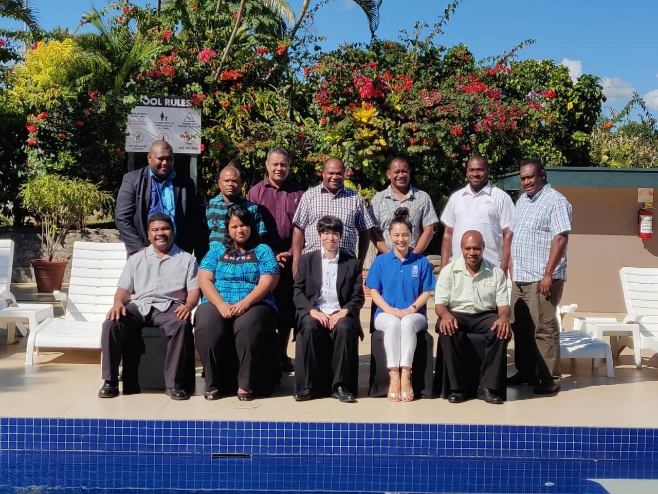
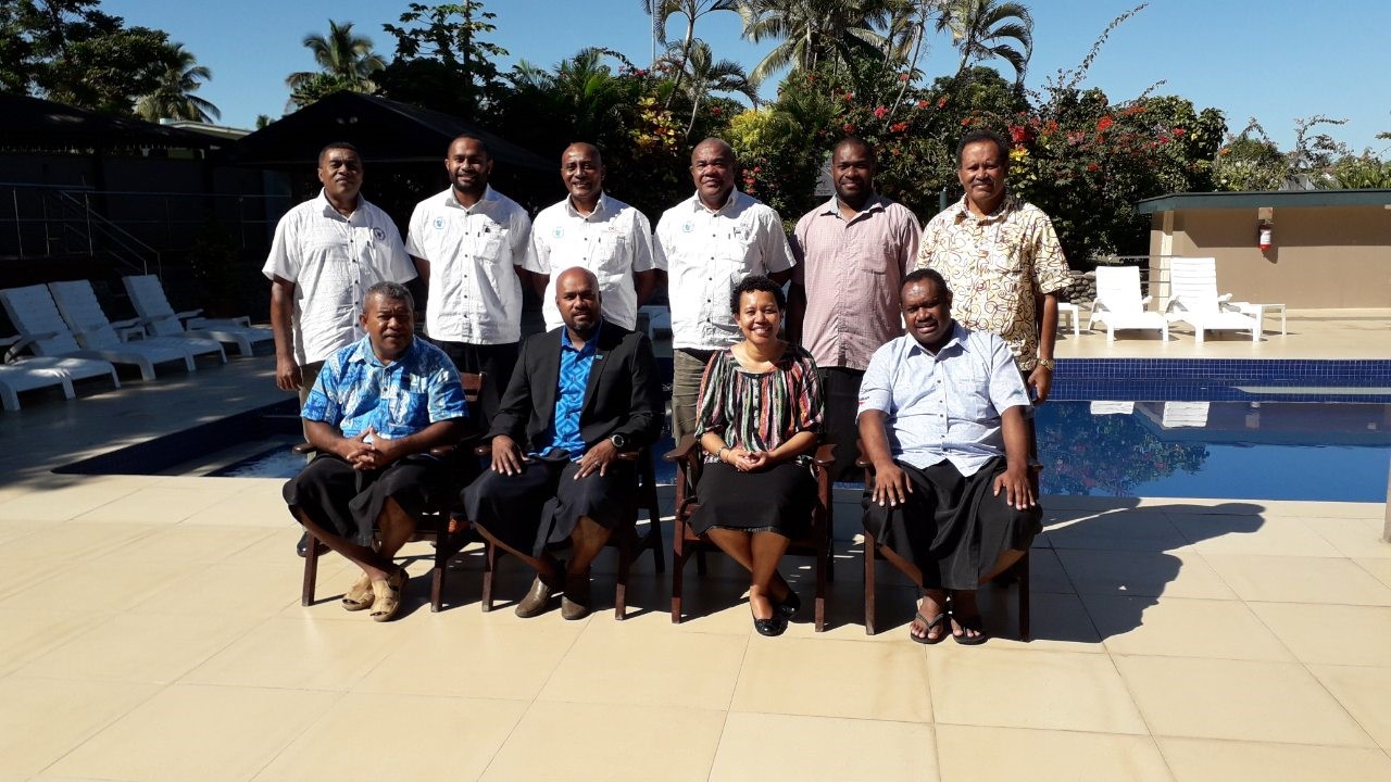
© UNDP: Sub-Regional Lessons Learnt and Work Planning Meeting participants & Fiji's National Tsunami Working Group Meeting participants
The second phase intends to keep the momentum going, fill the gaps, scale-up and integrate the preparedness programme and drills into the school curriculum and systems. The project emphasises institutionalising disaster preparedness in schools for sustainability beyond the projects. The Government of Japan has approved US$980,000 for the second phase of the school tsunami awareness project for 18 countries to be implemented over a period of 18 months, aiming to achieve three outputs:
- School preparedness and awareness programmes for tsunamis institutionalised in project countries,
- School preparedness and awareness programmes for tsunamis replicated and adapted in more schools in the Asia-Pacific region, and
- Capacity of data collection enhanced in the countries requiring support.
In the second phase, eight Pacific Island countries have been targeted that includes four new countries. The four new countries are Kiribati, Micronesia, Palau and Tuvalu and phase I countries are PNG, Solomon Islands, Vanuatu and Fiji.
UNDP Pacific Office in Suva, Fiji established partnership with the Intergovernmental Coordination Group of the Pacific Tsunami Warning and Mitigation System (ICG/PTWS) through the Pacific Island Countries and Territories (PICT) Regional Working Group on Tsunami Warning and Mitigation System (WG-PICT). On Day 1, Mr Jiuta Korovulavula, IOC Programme Officer Tsunami Warning and DRR shared the IOC, Tsunami Ready Recognition Programme and introduced the Pacific Tsunami Early Warning and Mitigation System through the WG-PICT and its linkages with National Tsunami Warning Centres (NTWC) and National Disaster Management Office (NDMOs). The Fiji NTWC was represented by Mr Isikeli Duwai who presented Fiji’s National Tsunami Early Warning Standard Operating Procedures (SOP). Following these presentations, it was realized that the project has an ideal opportunity to confidently contribute to strengthen targeted PICTs national tsunami early warning and mitigation systems.
The Sub-Regional Planning meeting was attended by representatives of the Ministry of Education and National Disaster Management Office (NDMO) from Vanuatu, Solomon Islands, Fiji, Palau, Kiribati and Tuvalu. Mr Taisuke Iwano, the First Secretary for Development Cooperation of the Embassy of Japan in Fiji, officially opened the Sub-Regional Lessons Learnt and Work Planning meeting.
The WG-PICT Task Team Capacity Building will continue to work closely with targeted PICTs through NTWC and NDMOs in collaboration with Ministry of Education and UNDP Pacific Office in the design and implementation of in-country project activities.
The Fiji Tsunami Working Group (FTWG) of the WG-PICT Task Team Capacity Building met on Day 2 to discuss Fiji’s Tsunami Early Warning and Mitigation Systems and the UNDP project, phase two activities. The members of the working group are representatives of the Seismology Unit of the Fiji Mineral Resources Department, National Disaster Management Office, Fiji Meteorological Service (FMS), Ministry of Education and Cultural Heritage, The Secretariat of the Pacific Community (SPC), UNDP Pacific Office and the Office of UNICEF in the Pacific.
More Articles...
- MHEWS – A Proven Contribution to Sustainable, Resilient and Inclusive Societies
- Twelfth Session of the Intergovernmental Coordination Group for the Indian Ocean Tsunami Warning and Mitigation System (ICG/IOTWMS-XII)
- Expert Consultation on Scientific Tsunami Hazard Assessment of the Makran Subduction Zone
- Post-Exercise Indian Ocean Wave 2018 and Indian Ocean Tsunami Ready Workshop highlights recent achievements in community readiness
About the Tsunami Programme
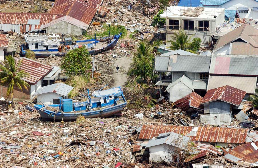
The Indonesian coast, between Banda Aceh and Meulaboh, after the earthquake and the tsunami of 26 December 2004. Photo by Evan Schneider © UN Photo
UNESCO supports Member States in improving capabilities for tsunami risk assessment, implementing early warning systems and enhancing preparedness of communities at risk. UNESCO works closely with national institutions and promotes inter-institutional and regional cooperation. Specialized regional centers provide tsunami information that, together with national analysis, is the basis of the warnings issued for the public. In addition, UNESCO promotes community-based approaches in the development of response plans and awareness campaigns which strongly involve education institutions and end-users.
Upcoming Events
7 August 2024
19 August 2024
19 - 30 August 2024
Chile