Sea Level Monitoring
TSU/MAB Coastal Hazards Project
Hazard assessments
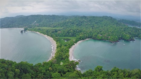
Coastal hazard assessments in the Savegre Biosphere Reserve
Through initial consultations with experts, national and local emergency responders, and the Board of the Savegre Biosphere Reserve, the project identified three coastal hazards which pose a threat to the Savegre Biosphere Reserve: tsunamis, storm surges, and inundation from heavy rainfall. the assessment of coastal hazards constituted Phase 1 of the project.
The intent of this first phase of implementation was to establish a sound scientific basis to inform preparedness activities in subsequent phases of the project. The following deliverables were completed within the scope of these actions:
• Report on field survey to assess inundation levels after a flooding event from heavy rainfall in June 2021 in the urban centre of Quepos (available here).
• Bathymetry data for the coastline of Quepos, Manuel Antonio, and Parque Nacional Manuel Antonio.
• Topography data for the urban centre of Quepos.
• Joint digital elevation model (DEM) including bathymetry data, topography data, and aligned with 2012 LIDAR data, for the urban centre of Quepos.
• Storm surge model, related report, and related inundation maps for Quepos, Manuel Antonio, and Parque Nacional Manuel Antonio.
• Tsunami model and related inundation maps for Quepos, Manuel Antonio, and Parque Nacional Manuel Antonio.
• Model, related report, and related inundation maps of flooding of rivers/creeks from heavy rainfall in the urban centre of Quepos.