Sea Level Monitoring

TSU/MAB Coastal Hazards Project
JMA's brochure about the Lessons Learned from the Earthquake and Tsunami in 2011

The Japan Meteorological Agency (JMA) published a brochure on its experience through the Great East Japan Earthquake and Tsunami in 2011. It explains JMA's tsunami warning operation on that day, the lessons learned from the earthquake and tsunami as well as how JMA improved its tsunami warning operations based on those lessons. This brochure is firstly targeting people responsible for earthquake/tsunami early warnings/responses but also those who have an interest on what happened on March 11, 2011 to share the infrequent experience and knowledge widely. The brochure is available in English on JMA's website at:
http://www.seisvol.kishou.go.jp/eq/eng/tsunami/LessonsLearned_Improvements_brochure.pdf
Tsunami Enhanced Products for the Pacific Ocean will be available as from October 1st, 2014
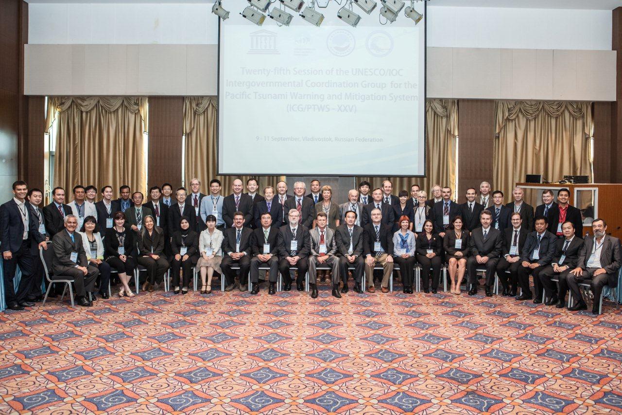 The Twenty-fifth Session of the Intergovernmental Coordination Group for the Pacific Ocean Tsunami Warning and Mitigation System (ICG/PTWS-XXV) took place in Vladivostok, Russian Federation, 9-11 September 2013. The meeting was very well attended, with over 60 participants from 16 countries, one organisation (World Meteorological Organisation) and one business company (SAIC). The Group requested the Pacific Tsunami Warning Center (PTWC) to replace the current PTWC tsunami products for PTWS as from 1 October 2014 with the endorsed Enhanced Tsunami Products. The PTWC Enhanced Tsunami Products for the PTWS will no longer advise levels of alert to Member States, but instead provide more detailed forecast levels of tsunami threat for use by the National Tsunami Warning Centers (NTWCs). The Group also accepted China's proposal to build a South China Sea Tsunami Advisory Centre (SCSTAC) to service the approved sub-regional South China Sea Tsunami Warning and Mitigation System within the framework of the ICG/PTWS. China's National Marine Environmental Forecasting Centre (NMFEC) will be responsible for building the centre.
NOAA/NOS Tsunami water level data products available over the GTS
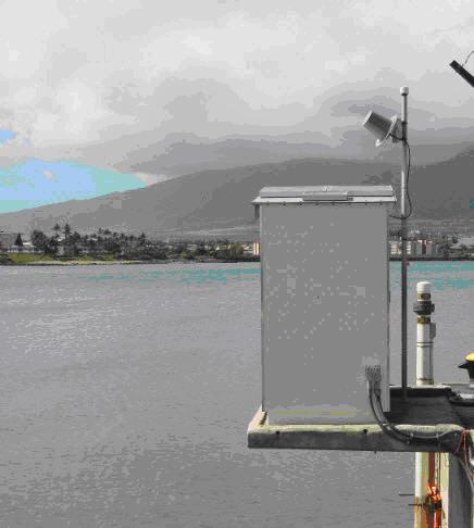
On August 7, 2013, NOAA’s National Ocean Service (NOS) Center for Operational Oceanographic Products and Services (CO-OPS) released new data products over the Global Telecommunication System (GTS). Included in this release is a set of one-minute water level data products, formatted into Character form for the Representation and EXchange of data (CREX) messages. CREX is table-driven code that follows World Meteorological Organization definitions, and allows a large set of data to be succinctly formatted into a human-readable message. One-minute water level data from each CO-OPS station is transmitted via GOES, Iridium, or phone/IP, and ingested into CO-OPS systems. During this ingestion process, the data are organized into regionalized CREX bulletins and disseminated over the GTS. WMO headers for these bulletins are:
SZNT31 KWBC (AtlanticCoast)
SZGX32 KWBC (GulfCoast)
SZCA33 KWBC (CaribbeanIslands)
SZPZ34 KWBC (PacificCoast)
SZAK35 KWBC (AlaskaCoast)
SZHW36 KWBC (Hawaii)
SZPA37 KWBC (Pacific Islands)
These products address a need for high-frequency sea level data collected at stations outside of the GOES footprint. CO-OPS plans to also develop BUFR products (the binary counterpart to CREX) in the near future.
For more information on NOS/CO-OPS, please contact Этот адрес электронной почты защищен от спам-ботов. У вас должен быть включен JavaScript для просмотра.
Подкатегории
-
Latest News
- Кол-во материалов:
- 83
-
Newsletter
- Кол-во материалов:
- 5
-
On focus
- Кол-во материалов:
- 5
-
IOTWS News
- Кол-во материалов:
- 1