Sea Level Monitoring
TSU/MAB Coastal Hazards Project
Makran Subduction Zone Science Strengthens Tsunami Warning and Preparedness in the North-West Indian Ocean
Five Member States of the IOC-UNESCO Indian Ocean Tsunami Warning & Mitigation System (IOTWMS) met in Abu Dhabi during 14-16 November 2022 to discuss the outcomes of the scientific activities supported by the UNESCAP funded project “Strengthening Tsunami Early Warning in the North-West Indian Ocean (NWIO) Through Regional Cooperation”.
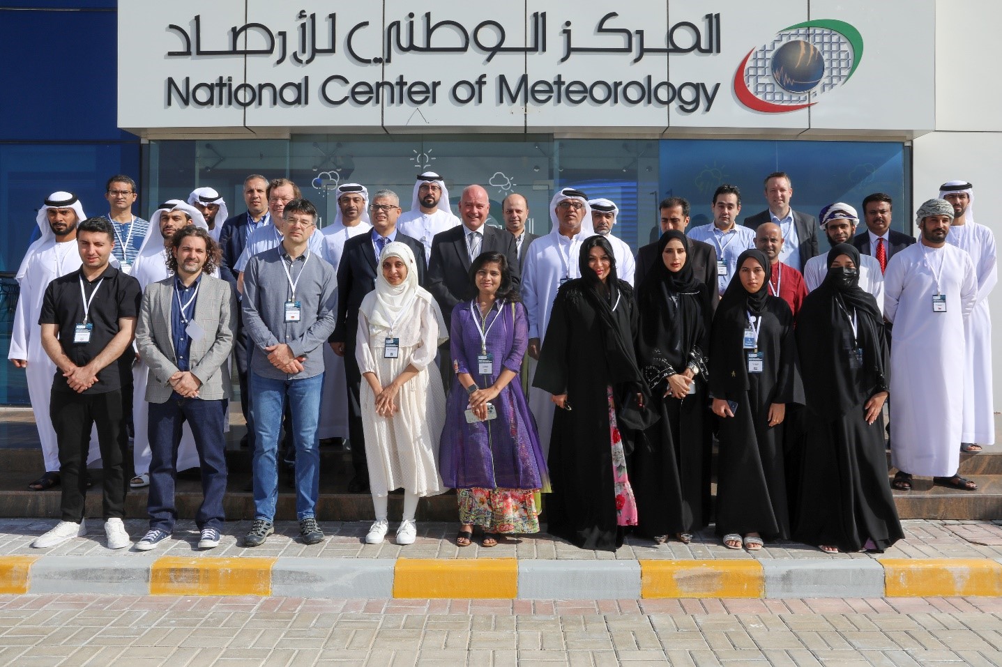
Photo: Participants at the Workshop on Makran Subduction Zone Science Strengthening Tsunami Warning and Preparedness, Abu Dhabi, United Arab Emirates, 14-16 November 2022.
The five countries included India, Iran, Pakistan, Oman, and United Arab Emirates (UAE). The workshop also included international experts from Germany, Italy and Norway. The meeting was hosted at the facilities of the National Centre of Meteorology, UAE, which made for an excellent environment for the participants to discuss and exchange ideas and thoughts on how an enhanced scientific understanding of the Makran Subduction Zone (MSZ) can strengthen tsunami warning and mitigation. Participants could observe how a state-of-the art, multi-hazard warning centre operates and services its stakeholders. Participants from around the world also joined online.
The overall objectives of the workshop were to distribute, report, and discuss: 1) Recent results of an extensive Probabilistic Tsunami Hazard Assessment (PTHA) for the NWIO region including the Red Sea and Persian Gulf developed by international experts, who have been engaging and training scientist at the Indian Centre for Ocean Information Services (INCOIS) in India; and 2) Utilisation of the PTHA for tsunami inundation modelling and mapping for evacuation planning and risk assessment in the region. Plans were made to finalise development of Version (V)1.0 of the PTHA for all in the NWIO to use and to initiate development beyond the UNESCAP project of a V2.0 to also consider more complex sources of tsunami that are harder to characterise. Plans were also discussed for the Regional Working Group on Tsunami Inundation Modelling and Mapping (RWG-TIMM), established by the UNESCAP funded project, to utilise the products of the PTHA V1.0 to undertake inundation modelling for previously agreed pilot communities in the proposed next phase of the project to start in April 2023.
Hazard assessment is a fundamental element of Tsunami Warning and Mitigation Systems (TWMS). It helps with community education of any tsunami risk to coastal communities, thus alerting the communities and emergency management authorities of the need to be prepared and to respond effectively. With the help of international scientists who have been developing PTHAs for the Mediterranean region, the NWIO now also has a PTHA based on the latest techniques.
Another important element of a TWMS is the development of evacuation maps for an effective and safe response by at-risk coastal communities to the tsunami threat. Such evacuation maps are planned to be developed for the agreed pilot communities using inundation modelling utilising the PTHA. These are important steps towards community engagement and certification as part of the IOC-UNESCO Tsunami Ready Recognition Programme (TRRP) and will contribute to reaching the UN Ocean Decade Tsunami Programme goal of 100% of highly at-risk coastal communities being prepared and resilient to the tsunami threat.